Victory Drain

Naming

It is not definitively known how this drain came to be named but it is likely that it is associated with the end of World War I.  It could be that a drain was re-named Victory, or that a new drain, completed at this time was named in honour of the end of the war.  There is also a possibility that the drain was completed by ex-servicemen as a labour scheme.  Strangely, no records have been found in the archives to confirm the naming.

Victorymap2
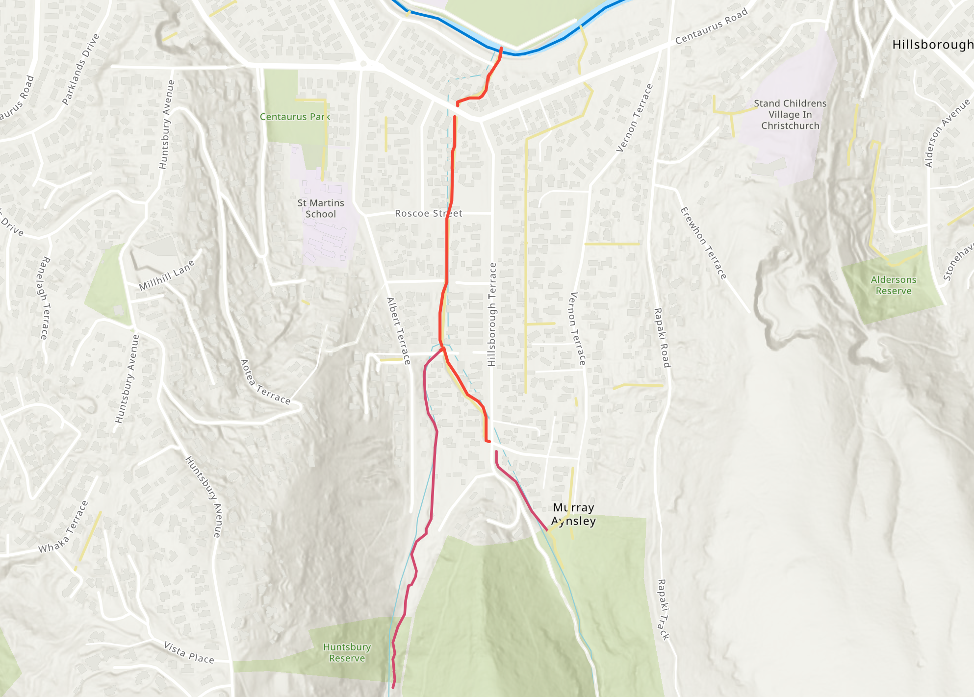
The Victory Drain shown in red. Click to enlarge

Where it joins the river

Img 2738
A view of the confluence of the Victory Drain and the river. Click to enlarge

About the waterway

The waterway is largely an open trench lined with boards or concrete that takes the low-flow streams from the gullies leading from Mt Vernon Park to the river.  Just downstream of Willock Place, the drain branches into two. At most times of the year, there is a low residual flow in the drain.

A view of the waterway

Img 2748
This swale is the Chorley Place Drain which is part of the start of the Victory Drain., Click to enlarge
Img 2746
The open stream in the Mt Vernon Park enters the concrete channel of the Victory Drain. near the junction of Hillsborough Terrace and Heybridge Lane. Click to elarge
Img 2744
The fork in the Victory Drain with Victory Drain Branch No 1 coming in at the right in this view. This branching occurs where April Place and Willock Place almost meet. Click to enlarge
Img 2743
A view of the waterway from Leonard Place. Click to enlarge
Img 2742
A view of the now 2m deep waterway as it approaches the culvert under Centaurus Road between Lascelles Street and Hillsborough Terrace. Click to enlarge
Img 2740
Concrete lining gives way to planks as the waterway approaches the river at the end of Riverlaw Terrace.. Click to enlarge

Historical maps

1930s
Drainage Board plan from late 1930s.. Click to view original.
1948
A street map dated to circa 1948 with the waterways that contribute to the river clearly marked. Click to enlarge