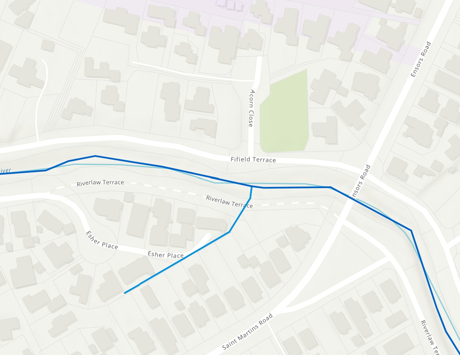
Esher Place was officially named on 22 March 1971 and first appears in street directories in 1977. No record exists of the significance of the name.
Esher Place Drain
Naming
About the waterway
This waterway both provides stormwater drainage for the properties on lefthand side of Esher Place but also takes the low flow from a spring in this area. The drain starts off as just that – a concrete drain between handstand areas before developing into a wider wood-sided box drain and then becoming a naturalised stream as it flows through the patch of regenerating bush on the Riverlaw Esplanade Reserve. It passes under a wooden footbridge before meeting the river in a naturalised channel. There is excellent fish migration access at the confluence.
The Riverlaw Esplanade Reserve is maintained by an active community group, the Friends of Riverlaw Esplanade Reserve with volunteers co-ordinated by Finn Jackson


