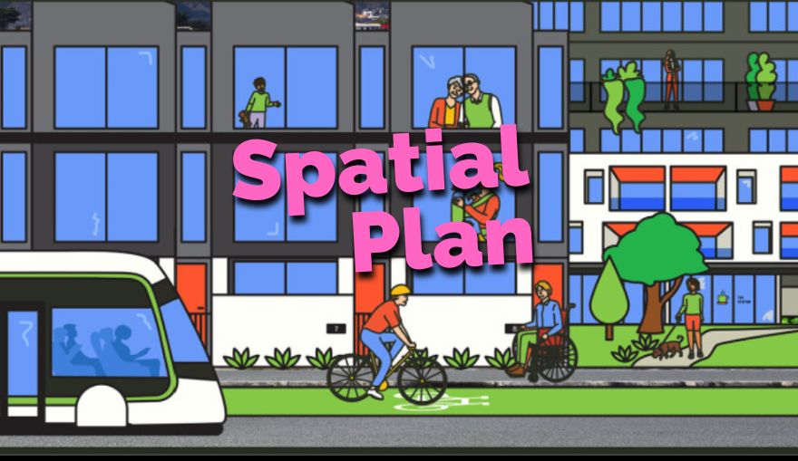
The Greater Christchurch Spatial Plan has just concluded its public consultation phase. What does this plan mean for the future of the river and what do we think of the plan itself?
The Greater Christchurch Spatial Plan is the first outcome of the 2022 Urban Growth Partnership for Greater Christchurch – the Whakawhanake Kāinga Komiti – a partnership of Waka Kotahi, Te Tūāpapa Kura Kāinga – Ministry of Housing and Urban Development,Te Rūnanga o Ngāi Tahu, the Selwyn and Waimakariri District Councils, Christchurch City Council, Environment Canterbury and Te Whatu Ora Waitaha. That is a powerful group to join together in producing a blueprint for future development in an area that extends from Rangiora in the north, to the Selwyn River / Waikirikiri in the south and inland to Kirwee.
Despite the high-level nature of the partnership members, the Spatial Plan itself has no real legal standing – it is informed by national and local policies, plans and legislation but it is given effect to by the manner in which District plans, Regional Policy Statements, Council plans and strategies reflect the Spatial Plan ideas. The stronger the Spatial Plan ideas, the more likely that they will be realised in the actions of the partnership members.
What is the big idea of the Spatial Plan?
Given the intention to manage population growth in the area, the main idea of the Spatial Plan is to focus growth through targeted intensification in urban and town centres and along public transport routes. To achieve this, the plan suggests that Riccarton, Hornby, central city and Papanui should be developed as significant urban centres linked by a Mass Rapid Transport system (the exact nature of which is yet to be determined). Rolleston and Rangiora should be developed as major towns with significant transport links to the city.
Where does the environment come into it?
It is pleasing to see that right from the outset, the environment is brought to the fore in the wider vision. A major opportunity is listed as “Protect, restore and enhance the natural environment” with “Prioritise the health and wellbeing of water bodies” and “Enhance and expand the network of green spaces” being parts of that opportunity.
Blue-Green networks?
The Spatial Plan makes quite a play about blue-green networks – a “whole-of-system approach” that connects water bodies, parks, green areas and the coast to the interactions of people with these environments. The plan seeks opportunities to deliver “multiple ecosystem services simultaneously – restoring and enriching habitats for indigenous biodiversity, strengthening resilience to climate change, improving air quality, and increasing community access to recreational opportunities”.
What is in it for the Ōpāwaho Heathcote River?
Taken at face value, this plan is good for the river if the great words about blue-green networks are turned into reality. In particular, the development of Hornby as a Priority Area could provide a significant opportunity to greatly improve the quality of stormwater from this area in the headwaters of the river. The planning errors of the past which have seen Haytons Stream and Curletts Stream feed some of the most polluted stormwater in the city into the Wigram Basin and thence into the Ōpāwaho Heathcote River could be reversed. On the other hand, if the fine words about blue-green systems and the primacy of the environment die in the face of hard-nosed intensification, the establishment of Hornby as a Priority Area could condemn the Ōpāwaho Heathcote River to a future of continuing degradation.
Green belt concept?
One of the high-level ideas in the Spatial Plan is the idea of a Green belt of ecological enhancement around Rolleston, Lincoln, Rangiora and the outskirts of current Christchurch. For some reason, Kaiapoi does not qualify for this treatment. Frankly, green belts are dated planning concepts that have been largely superseded by focusing on the authentic linking of natural features of the landscape – “blue-green” networks if you will – such as waterbodies, including wetlands, linked with defined and deliberately protected areas of indigenous vegetation.
What did OHRN think of the Spatial Plan?
On the whole, the Ōpāwaho Heathcote River Network supports the Spatial Plan although we did seek to have the opportunities for protecting and enhancing the environment prioritised over the development opportunities, important though these latter are. You can read what we said here.
In the end, while it is an important high-level plan informed by much thinking and some statutory requirements, the Spatial Plan will only be useful if it is given effect to by the actions of the organisations that form the Urban Growth Partnership. Those actions can certainly be influenced by a citizenry well-informed by the thinking in this plan.

